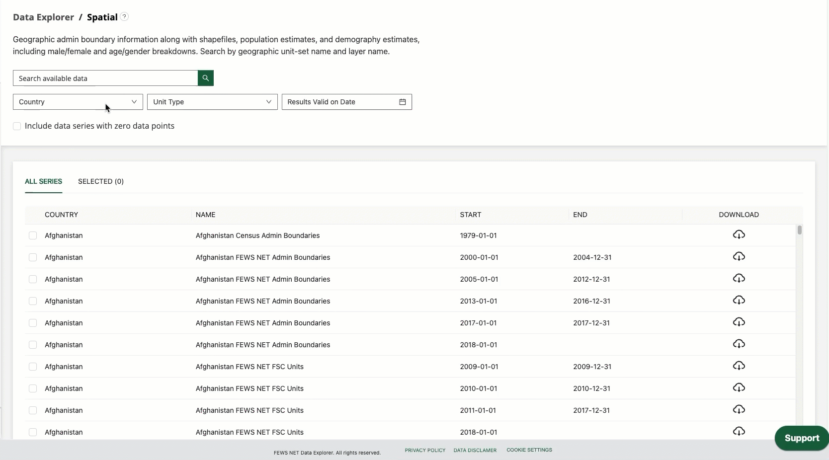
The Spatial Topic operates differently from most of the other topics in the FDE. In particular, the Spatial Topic contains vector type data meaning that Geographic Unit Set Versions are used instead of Data Series.
This page contains information on previewing Geographic Units that do not contain spatial data, as well as extracting population and demographic estimates for your selected data.
Notification for selections without Spatial data
If one or more of the Geographic Units you’ve selected do not contain spatial data, a notification will appear in this section saying, “The data series you’ve selected do not contain spatial data.” This makes it clear when Geographic Units cannot be visualized on the map or customized before download. Selections without spatial data can be browsed in the table view before downloading them.
Customizing Spatial data
Customization options within the Spatial topic area allow for aggregation or conversion of the data. The available parameters are:
-
Population data:
-
Geographic information only (this option is selected by default)
-
Include population estimate, including male/female breakdown
-
Include demography estimate, including full age/sex breakdown
-
-
Population source and year: Choose a different data source and year for population or demography estimates than the default.
-
Default population estimates are from LandScan 2024.
-
Default demography estimates are from WorldPop 2024.
-
When selecting a different population data source and year from the default:
-
The total population across all geographic units for the country (i.e., Admin 0) will match the total population provided by the selected data source.
-
The population estimates for each geographic unit will be scaled in proportion to the total population and population distribution provided by the default LandScan data.
-
Include shapefile attributes?: Selecting ‘yes’ for this option will include all attributes associated with the original shapefile, e.g., ADMIN0, ADMIN1, lzname, lzcode, etc.
-
Yes
-
No (This option is selected by default)
-
How to video: accessing population data
Watch the video below to learn more about the options to access population data in the Spatial Topic. (2:28, includes closed captions)